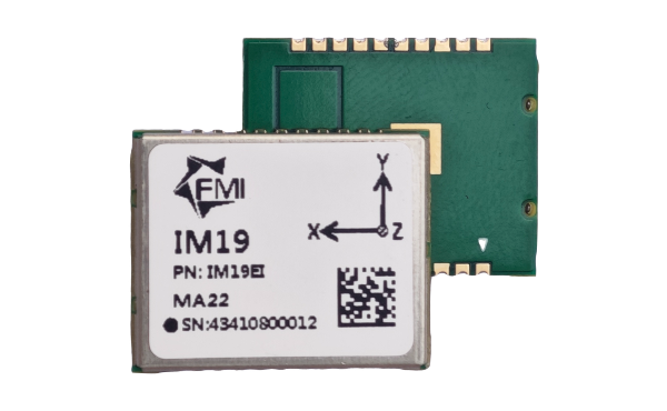
IM19 has been integrated with industry leading GNSS RTK modules (Hemisphere, Septentrio, uBlox etc) by partners around the world. At 2024 intergeo at Stuttgart, more than 20 partners will be exhibiting their RTK system with our IMUs. With multiple worldwide trade patents, easy to integrate, and reliable performance, it is fair to say our IMU set the GNSS tilt compensation performance standard.
Learn More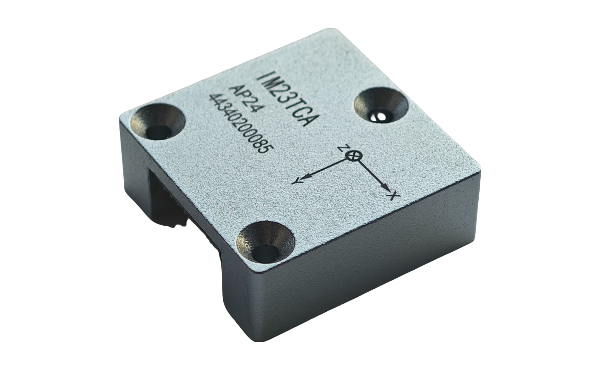
The IM23TCA is the most advanced IMU (dynamic pitch/roll 0.01°, 1σ) developed by FMI. It is designed on the foundation of our popular IM19 module with significant performance optimizations. It supports diverse functions such as tilt, AHRS, and integrated navigation modes. The IM23TCA is calibrated for stable operation in harsh industrial environment.
Learn More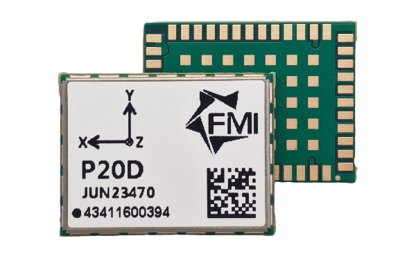
P20D is the world’s lowest power (<100mW) and smallest integrated GNSS/IMU high-precision positioning and heading module with a power brain. The module can perform on-chip RTK positioning and dual-antenna heading, and sensor fusion in GNSS denied environment. It can provide 3D attitude (heading, roll, pitch) in both dynamic and stationary platforms.
Learn More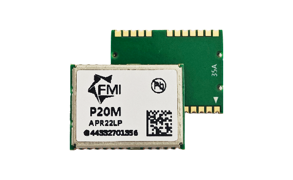
The P20M is a high-performance GNSS RTK module designed by FMI to support a wide range of satellite systems, including BDS, GPS, GALILEO, GLONASS and QZSS, ensuring long, reliable and continuous positioning in a variety of environmental conditions. With extremely low power consumption and high cost-performance ratio, it is suitable for personnel positioning equipment, small UAVs, etc.
Learn More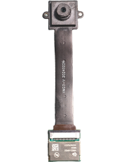
The VM23-AR is a small form factor module assembly designed to enhance the stakeout efficiency by augmenting GNSS RTK with vision. This innovative system provides visual guidance for the placement of the RTK pole tip, significantly improving the stakeout accuracy and speed.
Learn More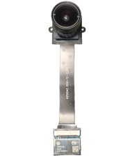
The VM23-IS (Imaging Surveys) is an advanced vision-assisted module assembly for augmenting GNSS RTK technology with imaging based surveys of distant objects. Powered by the efficient THEIA22 point cloud engine, it can achieve an survey accuracy of 2~4 cm at a distance of ~10 meter from the measured objects in real time.
Learn More